Illustrated Maps
About this project
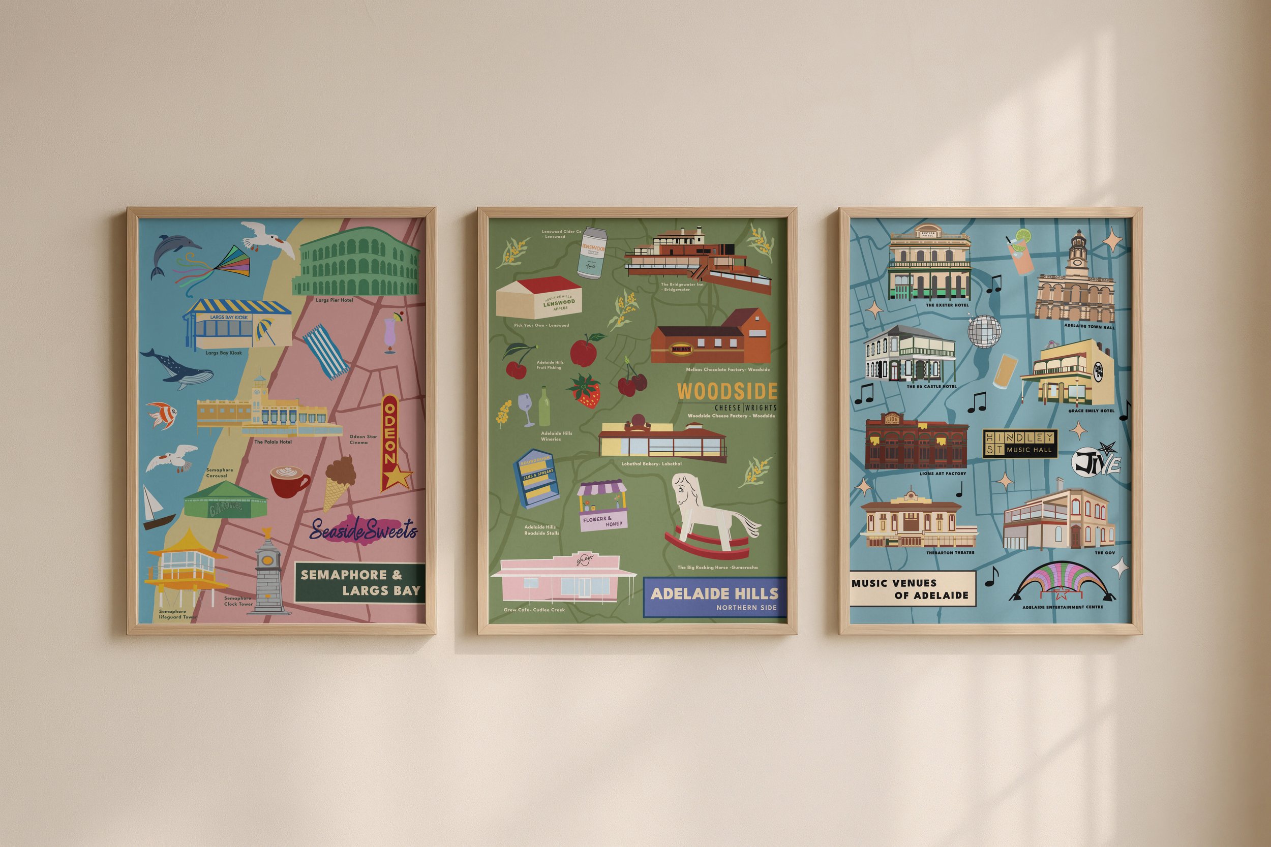
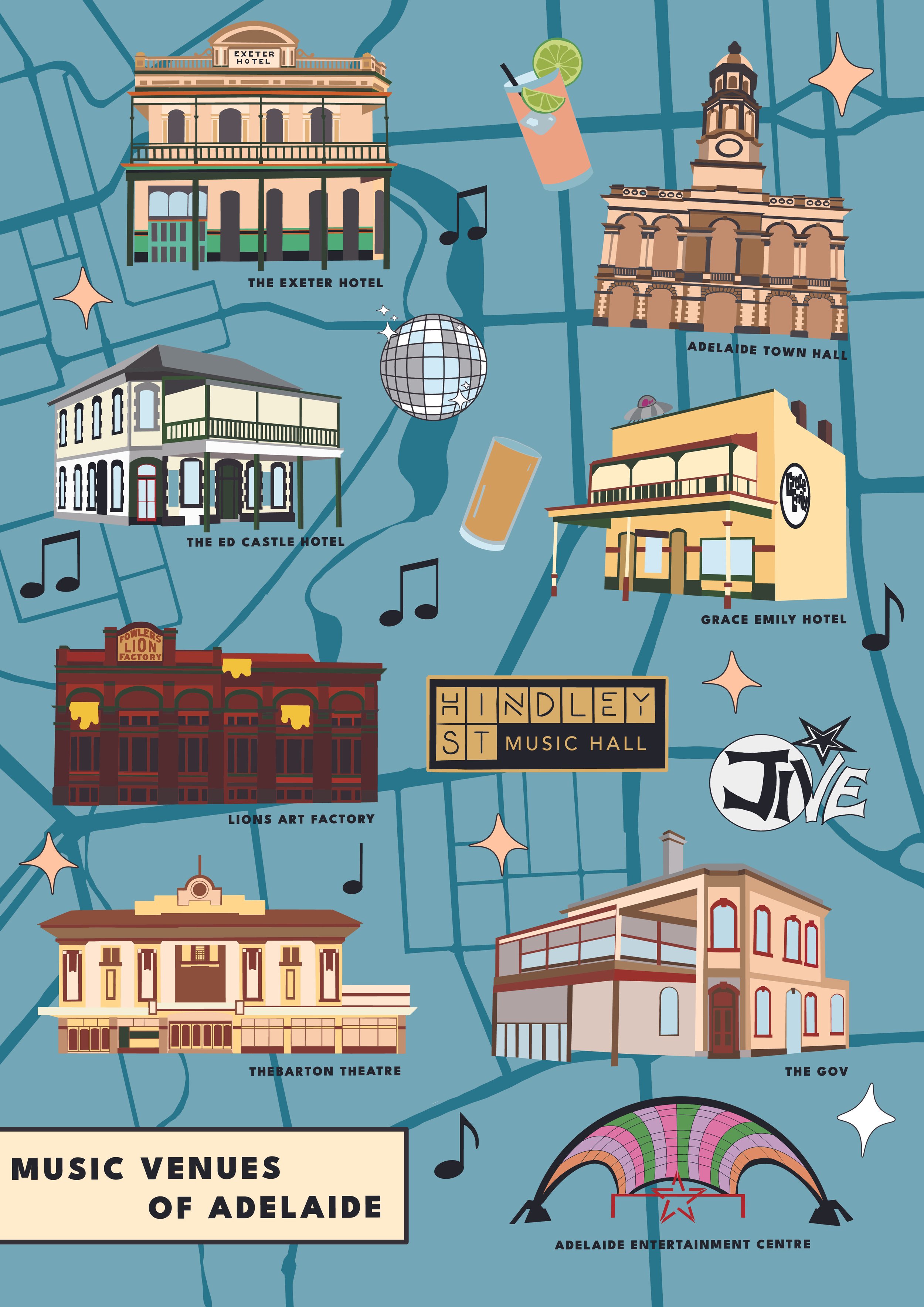
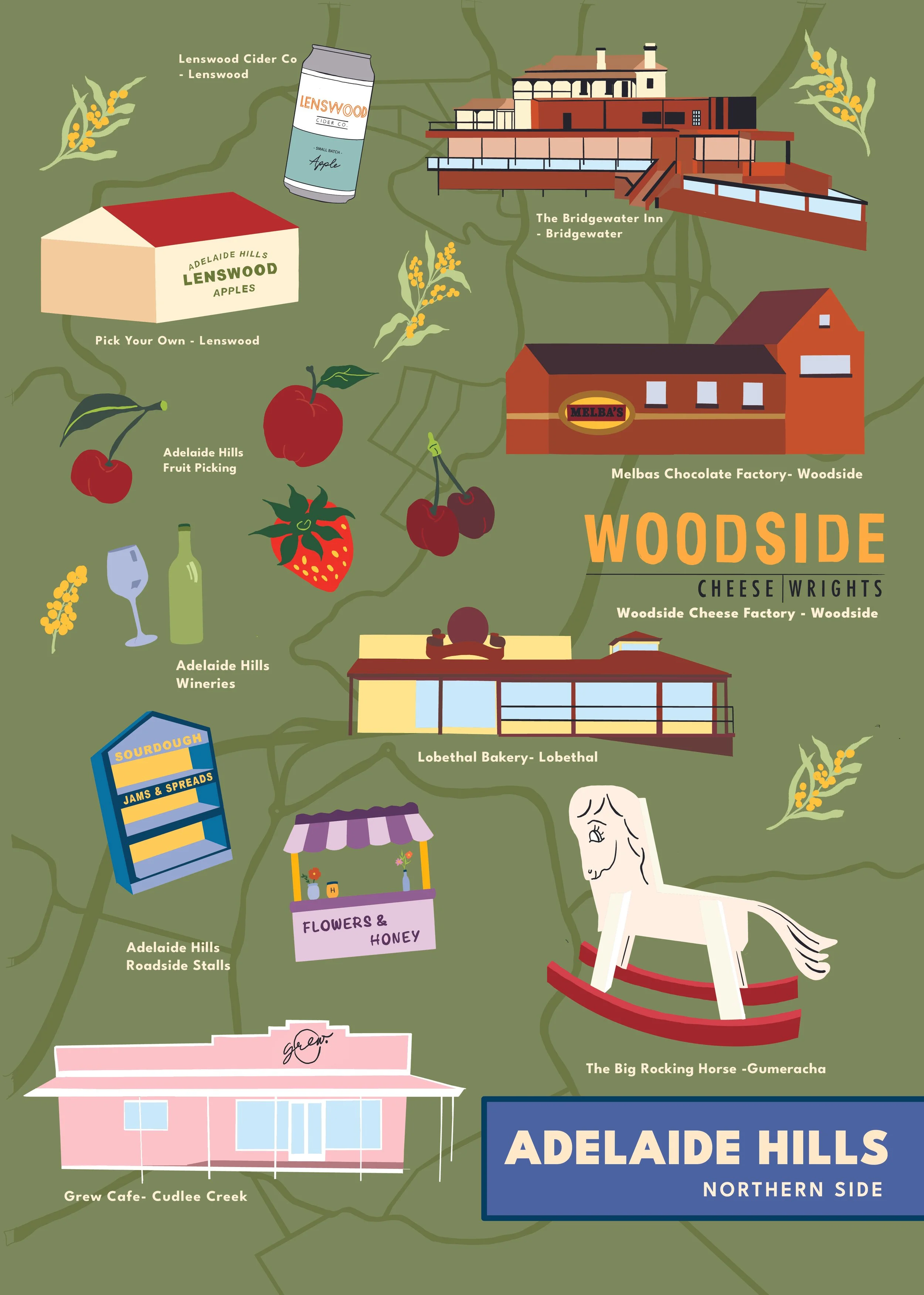
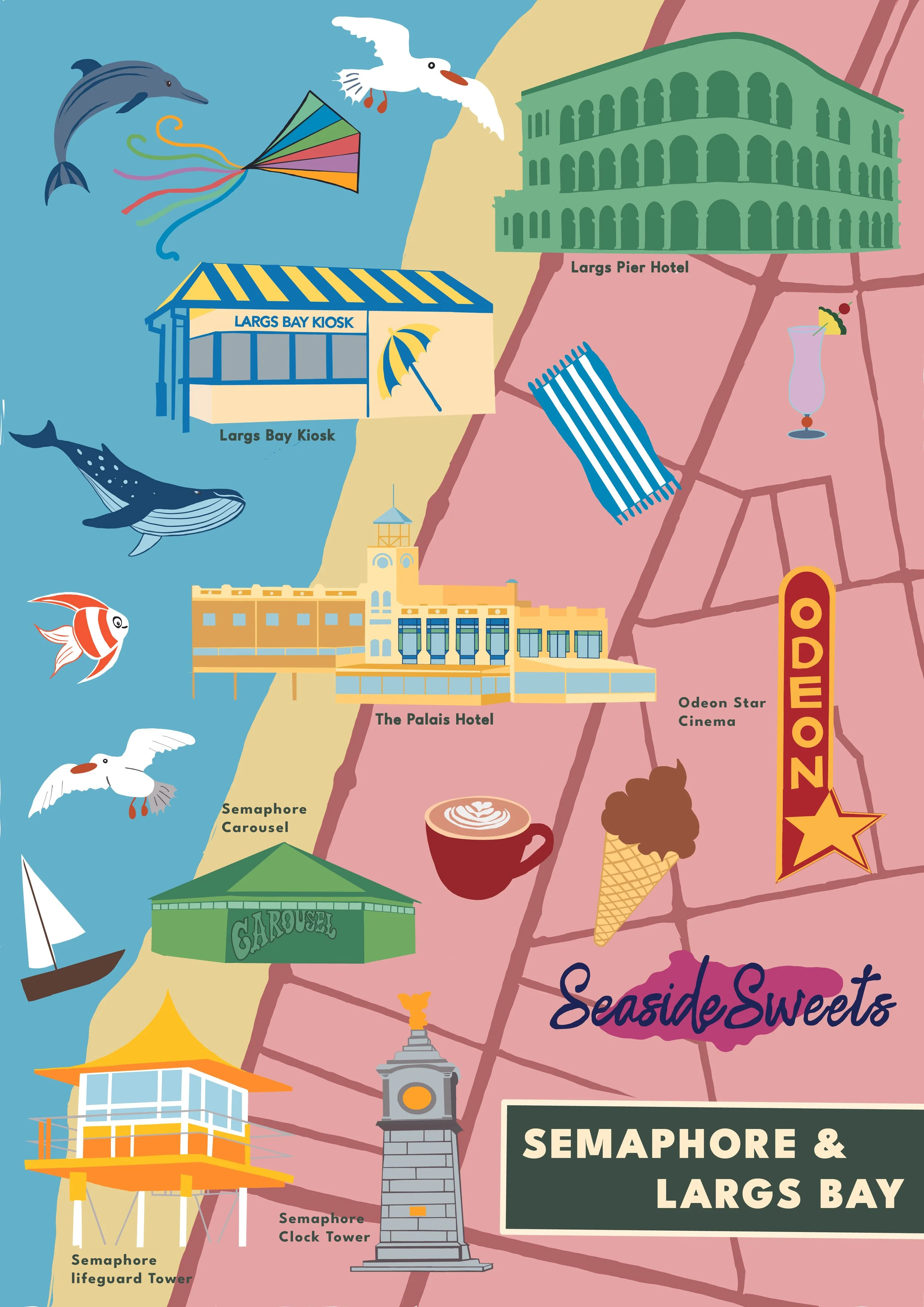
Illustrated Maps is an active project I am currently working on, with new maps currently in the works. Originally, this project started as a second-year university project called “Journey Mapping”, with me painting the map with gouache to tell the viewer how I got to Largs Bay from Semaphore.
This project has then turned into a passion project for me, with hopes of this project to evolve into a large series of maps of places people want to celebrate.
Prints of the maps coming soon.